MAPS of CANADA
This is a “work in progress” but we did not want to delay the launch of the entire encyclopedia for the sake of the maps section. We are adding new information every week, so please check regularly to see if the information you are looking for has been added. If you have details of fly fishing locations that should be included please feel free to email us with information including a Google geo-location, Zip Code, Postal Code or exact location (latitude/longitude) together with a landscape image of the location and website details. Your help will make this an even better information database for everyone!
info@flyfishingencyclopedia.com
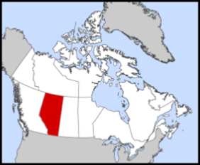
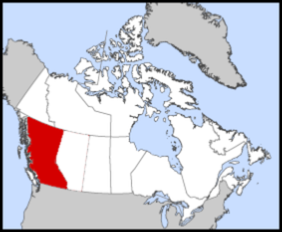
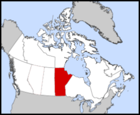
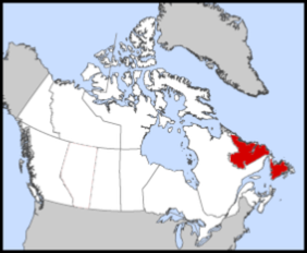
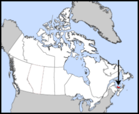
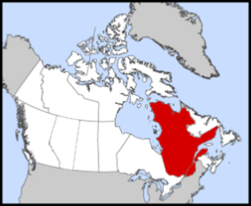
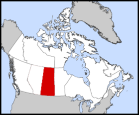
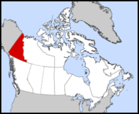
Click on a Province to go to an interactive Google map.